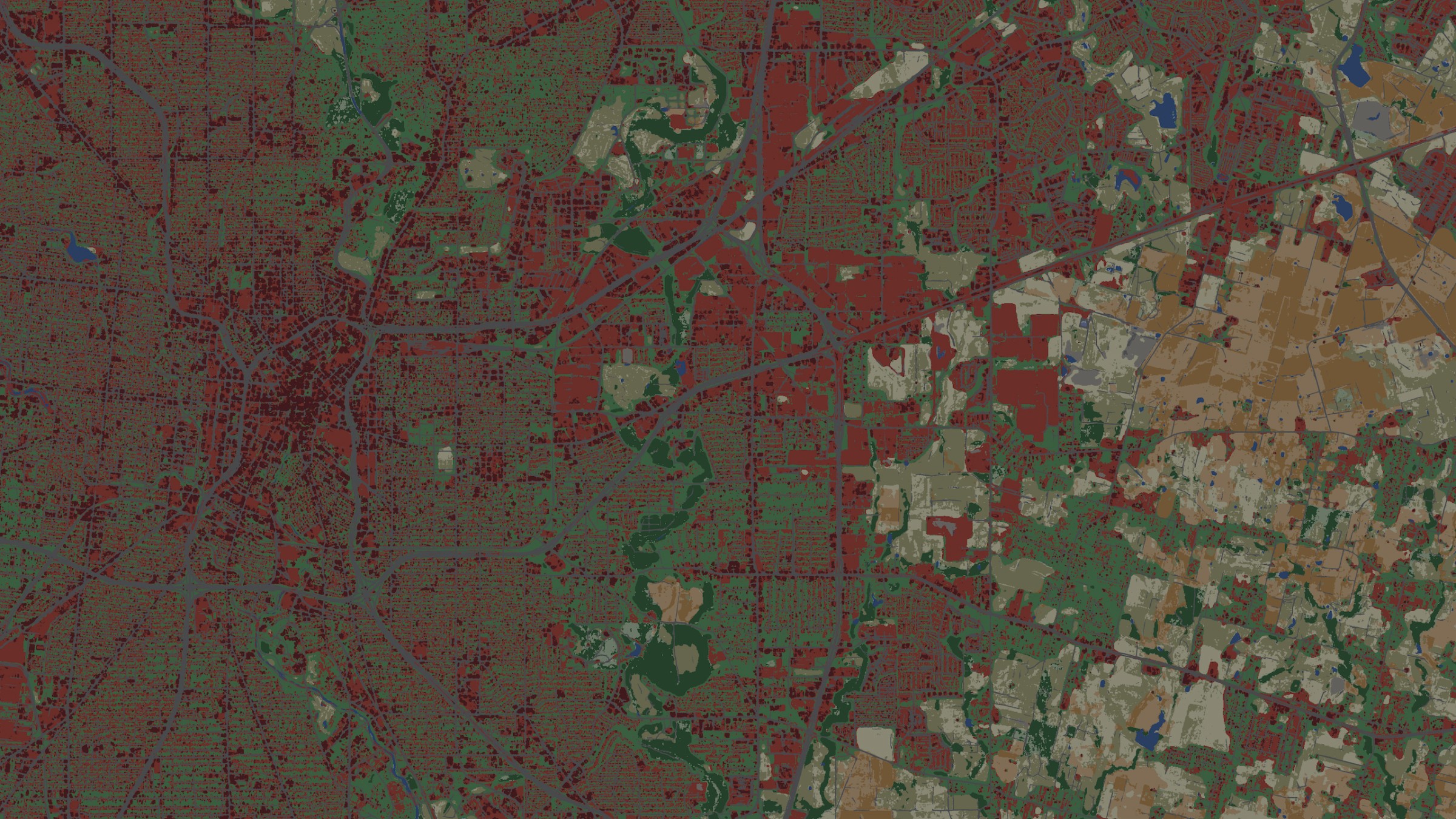
High-resolution insights
Monitor more than 16 land cover types for insights at 3m resolution.
Near-real-time observations
Leverage daily PlanetScope imagery for the most up-to-date maps in the industry.
Monitor changing conditions
Receive reports on where and when changes are occurring in your area of interest.
Customized date ranges
Maps and monitoring for seasonal or custom date ranges.
Enhanced data to empower your decisions
Detect patterns to enable data-driven decision-making with a clear and up-to-date understanding of any place on Earth.
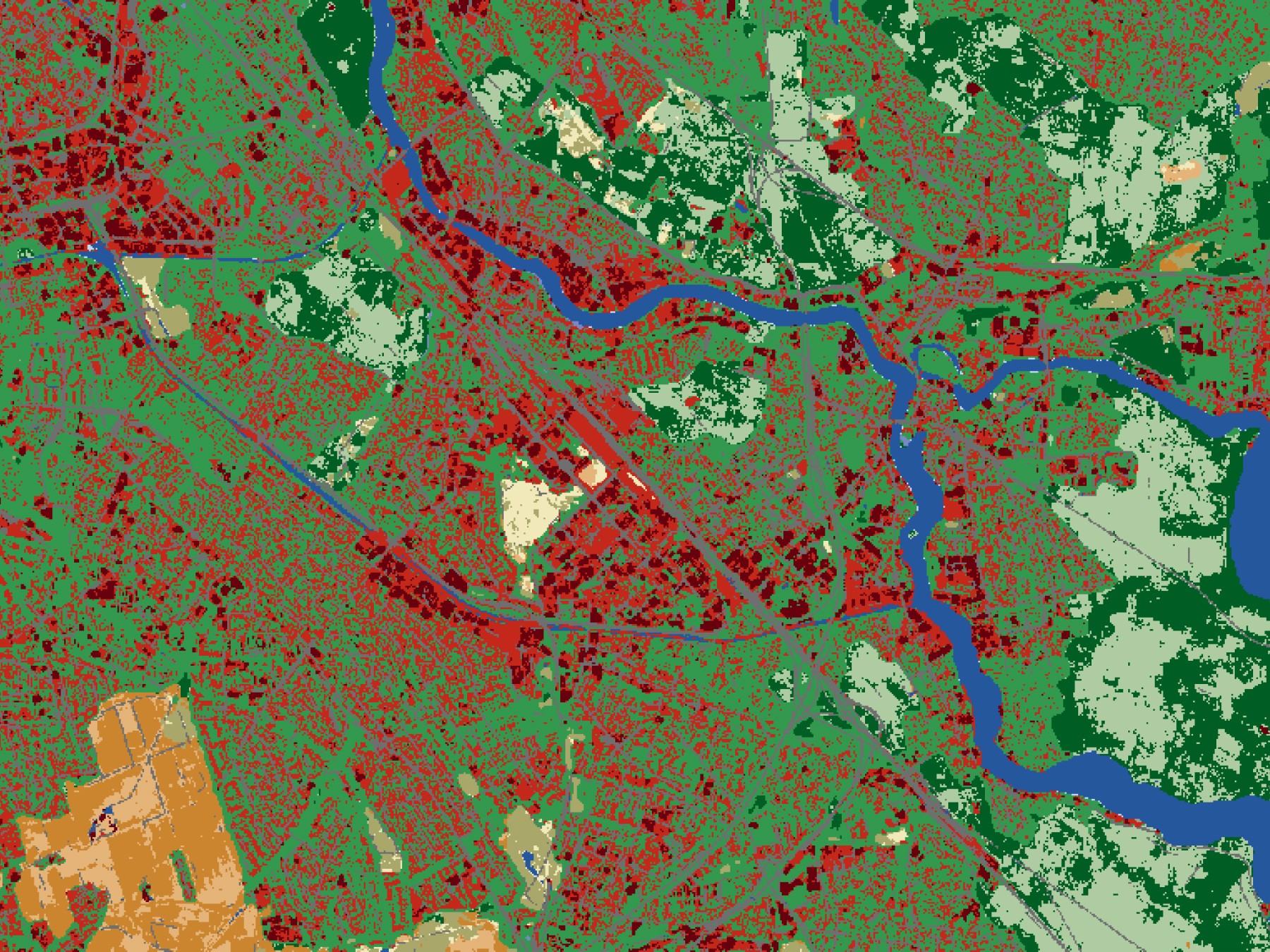
Strengthen urban planning for a climate resilient future
Track and plan a more sustainable urban landscape with data on the development of infrastructure related classes including Roads, Buildings, Bare Ground, Other Built Areas, and Mixed Vegetation.
Infrastructure Monitoring Sample Data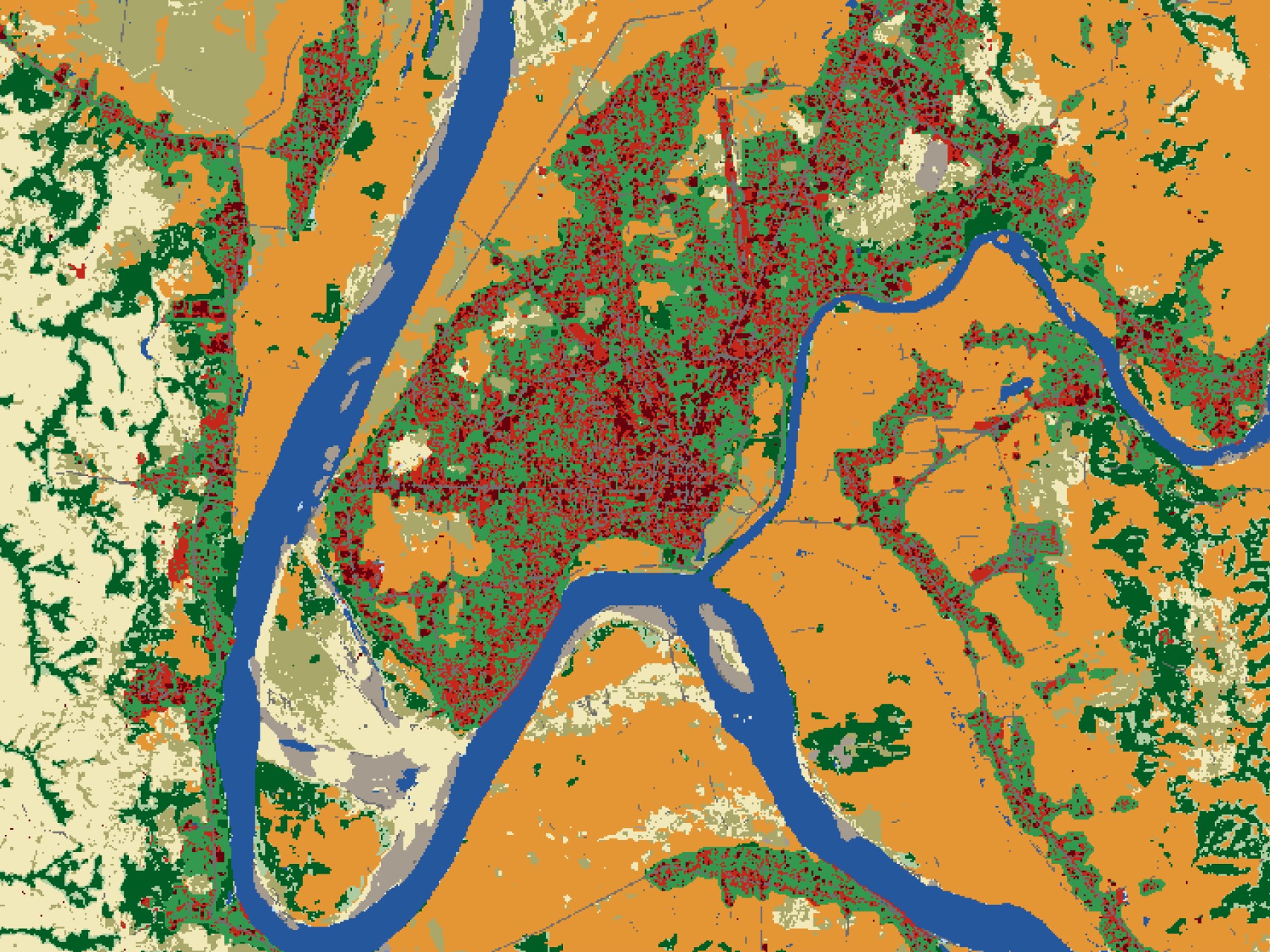
Understand risks for defense and intelligence
Access the most up-to date maps in any region to monitor changes in roads and infrastructure for suspected or potential activity.
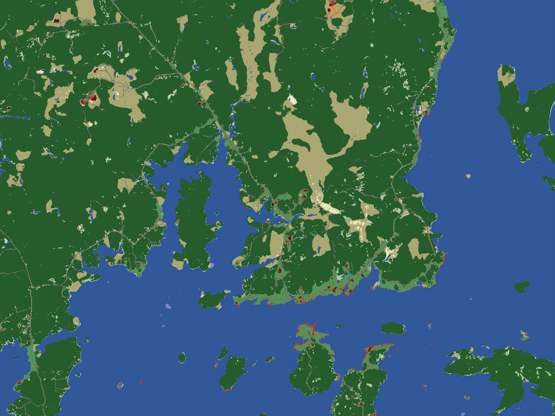
Track seasonal changes to critical natural resources
Understand how changes in natural resources may affect nature-based solutions to climate and biodiversity challenges by utilizing data on Variable and Persistent Water, Dense and Sparse Trees, and Flooded Vegetation.
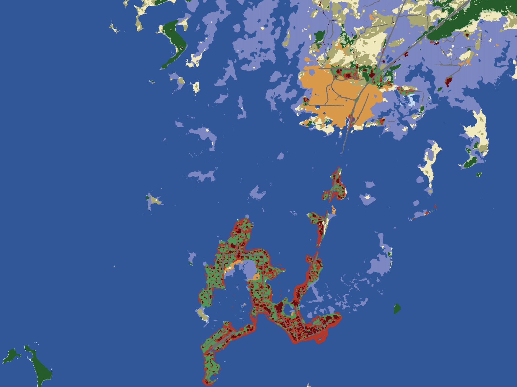
Prepare for humanitarian assistance and rescue operations
More effectively plan for possible damage to communities and infrastructure with our near-real time updated maps highlighting Building and Roads land cover classes.
Frictionless delivery to your inbox
Detect 16 land cover classes
Define custom areas of interest
AI-powered for faster geospatial analysis
Partner with our sales team for personalized solutions
Custom date ranges based on local seasons and needs
Uncover insights at 3m resolution
Tiered pricing structure
Your investments, monitored
Infrastructure Monitoring: Building infrastructure change in Coolidge, Arizona between 2020 and 2023, showing early ground disturbance related to residential development projects as “Other Built” in 2020 and changing to the “Building" class in 2023. Scheduled time-series analysis identifies the changes and can prompt the need for a visual inspection of the area.

Our Land Cover Maps
Find the map that helps you meet your goals, by comparing Impact Observatory's map offerings.
| Maps for Good | 10m Land Cover | 3m Land Cover | |
|---|---|---|---|
| Spatial Resolution | 10 meters | 10 meters | 3 meters |
| Spatial Extent | Custom area of interest | Custom area of interest | Custom area of interest |
| Date Range | Annual | Custom seasonal or annual dates | Custom seasonal or annual dates |
| Length of Archive | 2017–2023 | 2017–Present | 2020–Present |
| Best Suited for | Broad long term land cover analysis | Monitoring dense and sparse vegetation types and built areas, active and inactive croplands, and seasonal water patterns | Monitoring land cover types within urban areas including roads, buildings, mixed vegetation, other built areas |
| Categories | 9 classes Water Trees Rangeland Flooded Vegetation Crops Built Area Bare Ground Snow/Ice Clouds | 15 classes Water Channel Extent Variable Water Persistent Water Dense Trees Sparse Trees Dense Rangeland Sparse Rangeland Flooded Vegetation Active Cropland Inactive Cropland High Density Built Low Density Built Bare Ground Snow/Ice Clouds | 17 classes Water Channel Extent Variable Water Persistent Water Dense Trees Sparse Trees Dense Rangeland Sparse Rangeland Flooded Vegetation Mixed Vegetation Active Cropland Inactive Cropland Building Other Built Bare Ground Road Snow/Ice Clouds |
| Imagery Sources | Sentinel-2 | Sentinel-2 | PlanetScope & Sentinel-2 |
| Available File Types | Cloud Optimized GeoTIFF (COG), PNG and CSV | Cloud Optimized GeoTIFF (COG), PNG and CSV | Cloud Optimized GeoTIFF (COG), PNG and CSV |
| Price | Free | $2/km2 | $7.50/km2 |
Dive into the Details
Explore additional resources to improve your understanding of our 3m Land Cover offering
Documentation
Additional product details, tutorials, and release notes.
3m Land Cover Classes
Get detailed descriptions of each of our land cover classes.
