IO MONITOR
Impervious Surfaces
Design stormwater management strategies, mitigate urban heat, and assess flood risks
Near Real-Time
Available with the most up-to-date imagery available.
Unlock insights
10m or 3m resolution maps available for your area of interest.
Simple pricing
Standard pricing up to 15,000km² with tiered pricing available for larger areas.
From land use to impervious surfaces maps
Created from two main inputs: our LULC predictions and spectral data from satellite imagery for this same period. The result is a binary map with the same resolution as our source data, which is 10m/pixel for Sentinel-2 imagery, and 3m/pixel for PlanetScope Imagery.
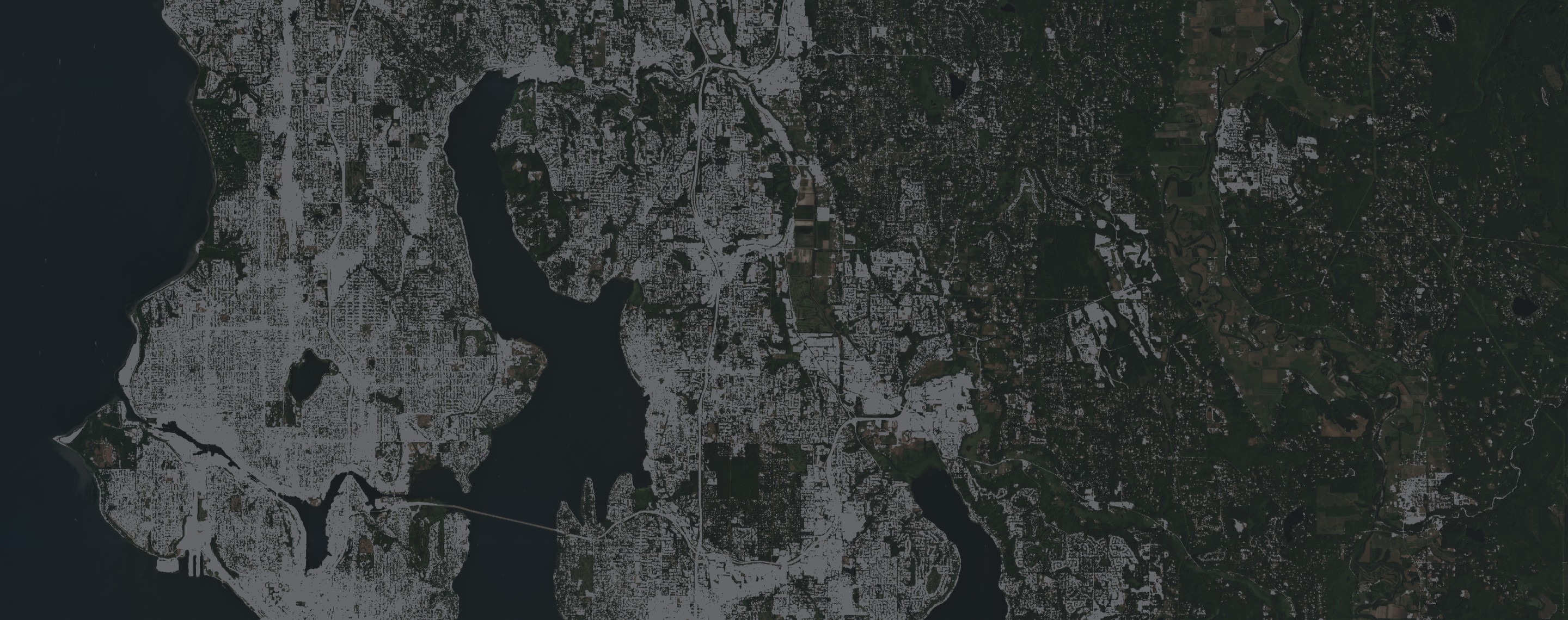
Impervious Surfaces showcased in Redmond, Washington
Monitor changes in impervious surface coverage over time
Support for small and large projects with tiered pricing
Uncover insights at 10m or 3m resolution
Monitor what matters to you with custom orders
Evaluate strategies for urban planning
Model risks from water run-off
Empowering smarter decisions for a better future
IO's Impervious Surface Map fills the gap between lower resolution, out-of-date offering, and more costly map creation.
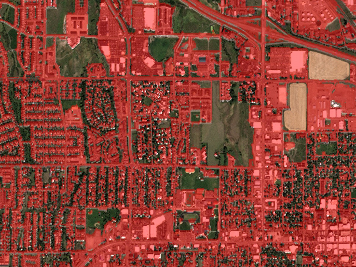
Identify at-risk areas and design appropriate stormwater management strategies
Assess the potential impact of stormwater runoff on new development proposals and projects.
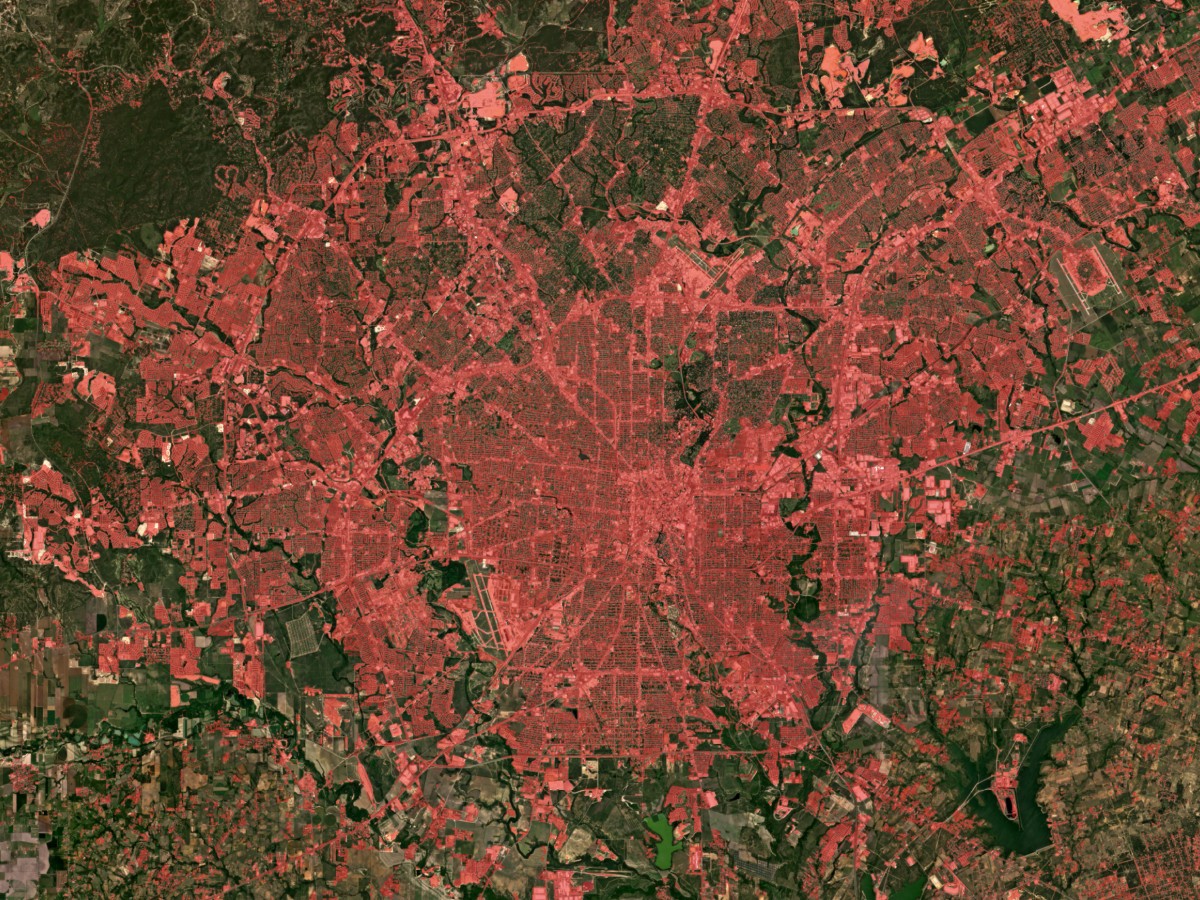
Unlock insights on urban heat mitigation
Analyze contributions to models of current and predicted urban heat, enabling cost assessment and effectiveness measures for different greening and cooling interventions.
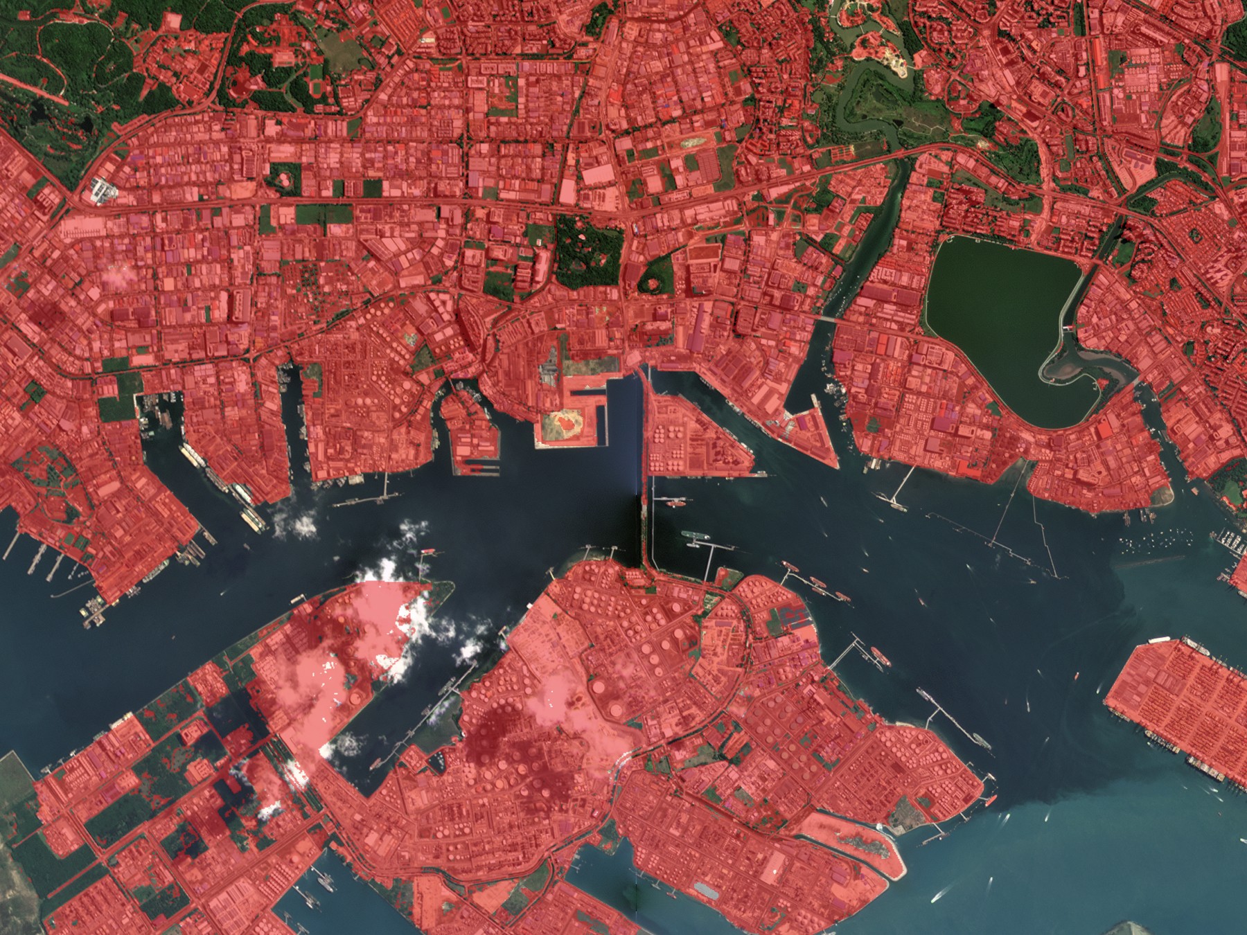
Develop and plan flood risk management strategies
Assess the risk of flooding and related natural disasters, and plan how flood and runoff can threaten key infrastructure and local hydrologic systems.
Dive into the Details
| File Type | Cloud Optimized GeoTIFF (COG) |
| Compression | LZW |
| Projection | EPSG:3857 - WGS 84 |
| Spatial Extent | User selected AOI |
| Temporal Extent | 120-day time duration (during seasonal vegetation periods) 365-day |
| Spatial Resolution | 10 meters |
| Revisit Frequency | 5 days, if available cloud-free imagery acquisition over specified AOI |
| Data Type | 8-bit unsigned (uint8) |
| Band 1 | 0 - pervious 1 - impervious |
